

Course
An unrelenting, unforgiving route through the Glarus Alps.
The Ultra Glaralpina is a single, continuous loop of singletrack, high in the alpine, traversing the most spectacular terrain of the mythical canton of Glarus. The route covers the core of the Via Glaralpina, a long-distance trail circumnavigating Glarus. On your journey, you will climb ten summits and passes, oversee alpine lakes and creeks, and visit the famed mountain huts of the Alps. This course was designed to experience the highlights of the area in a clean line.
Map and Profile
Checkpoints
Four checkpoints where runners can get support.
Runners can get support from their crew, access their dropbag, pick up a pacer, or drop from the race at four checkpoints. At these checkpoints, runners will be accounted for by a race official to confirm mandatory gear and time limits.
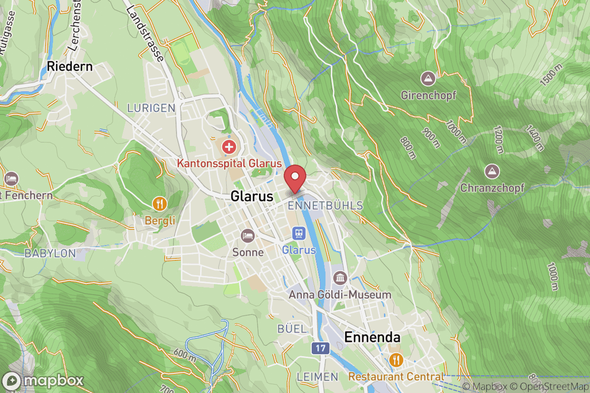
C0Start
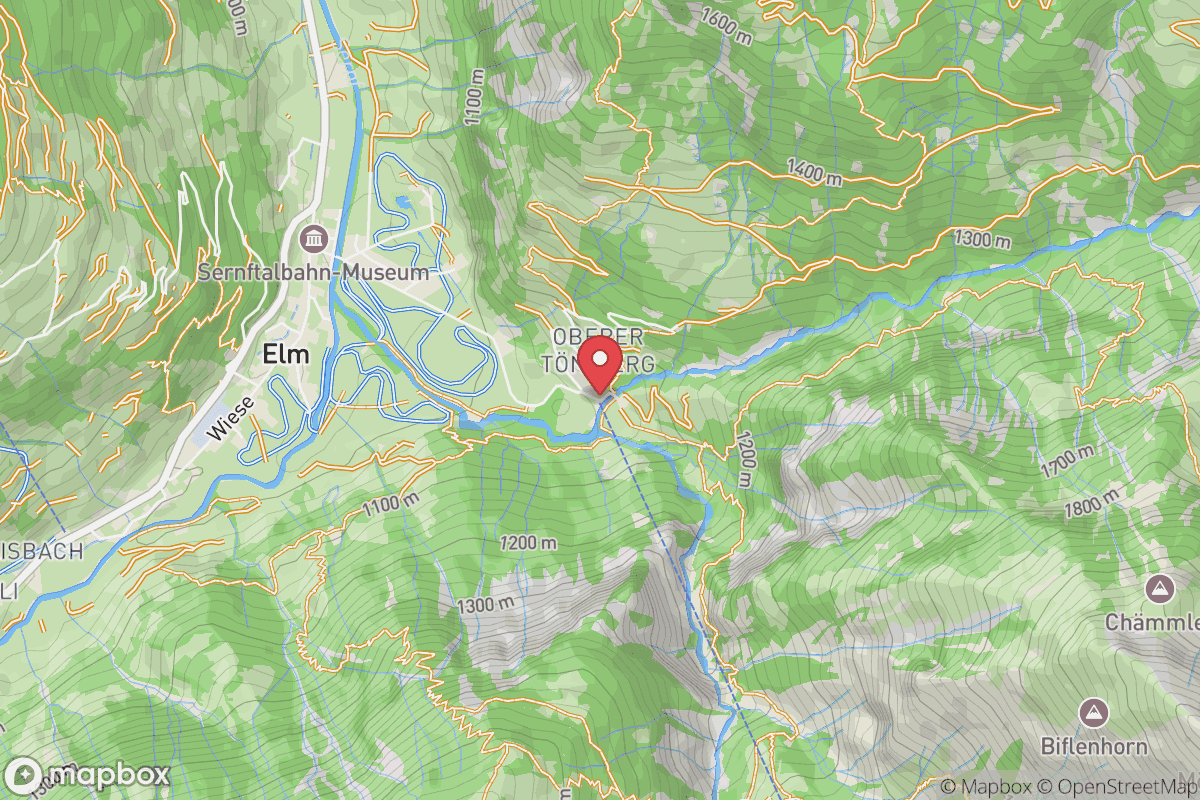
C1Elm
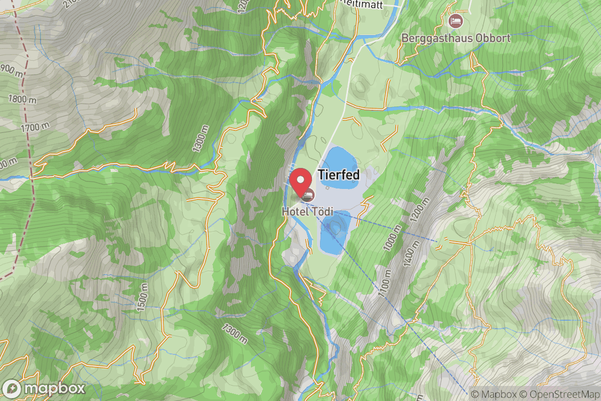
C2Tierfed
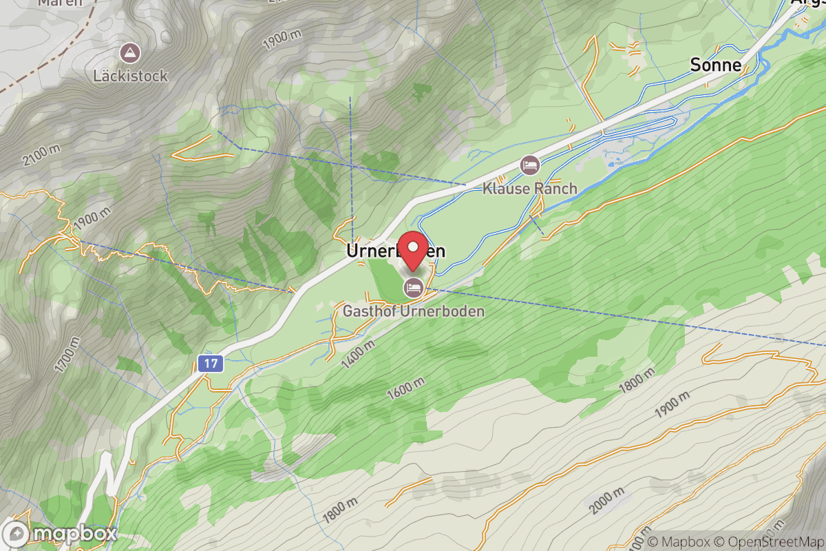
C3Urnerboden
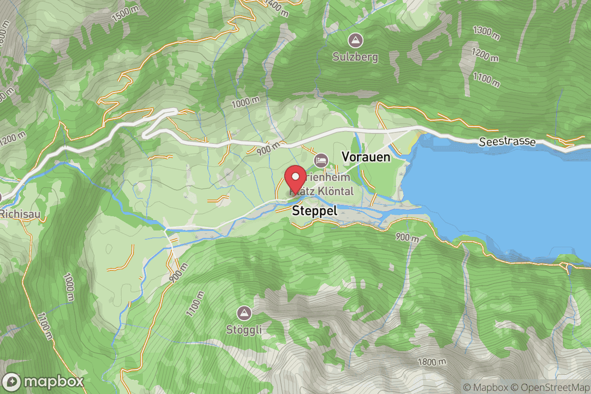
C4Klöntal
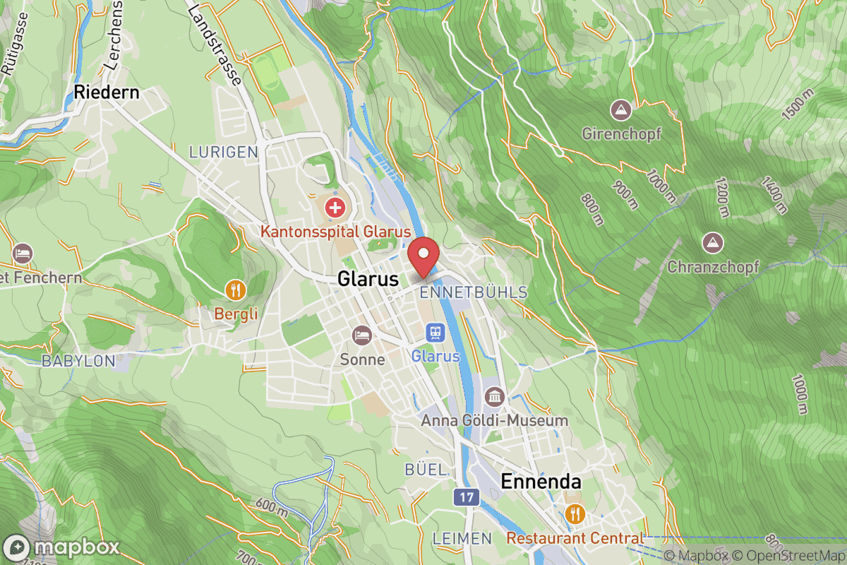
C5Finish
Proofpoints
Nine proofpoints where runners sign in independently.
Runners must sign in at nine proofpoints along the route to verify that they adhere to the official race course. All proofpoints are located at mountain huts; some manned some unmanned. No race officials will be present and no crew access will be available at these locations.
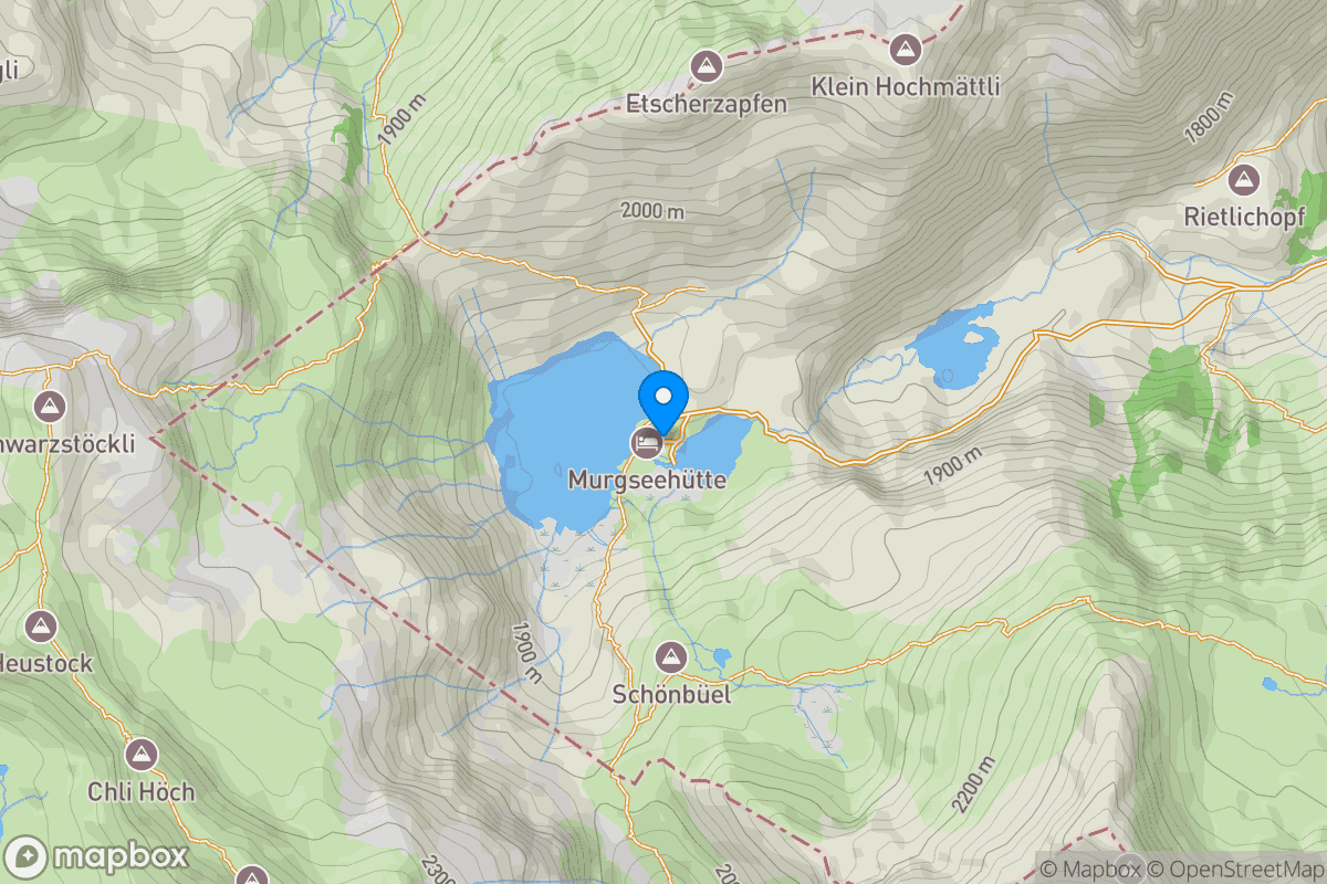
P1Murgseehütte
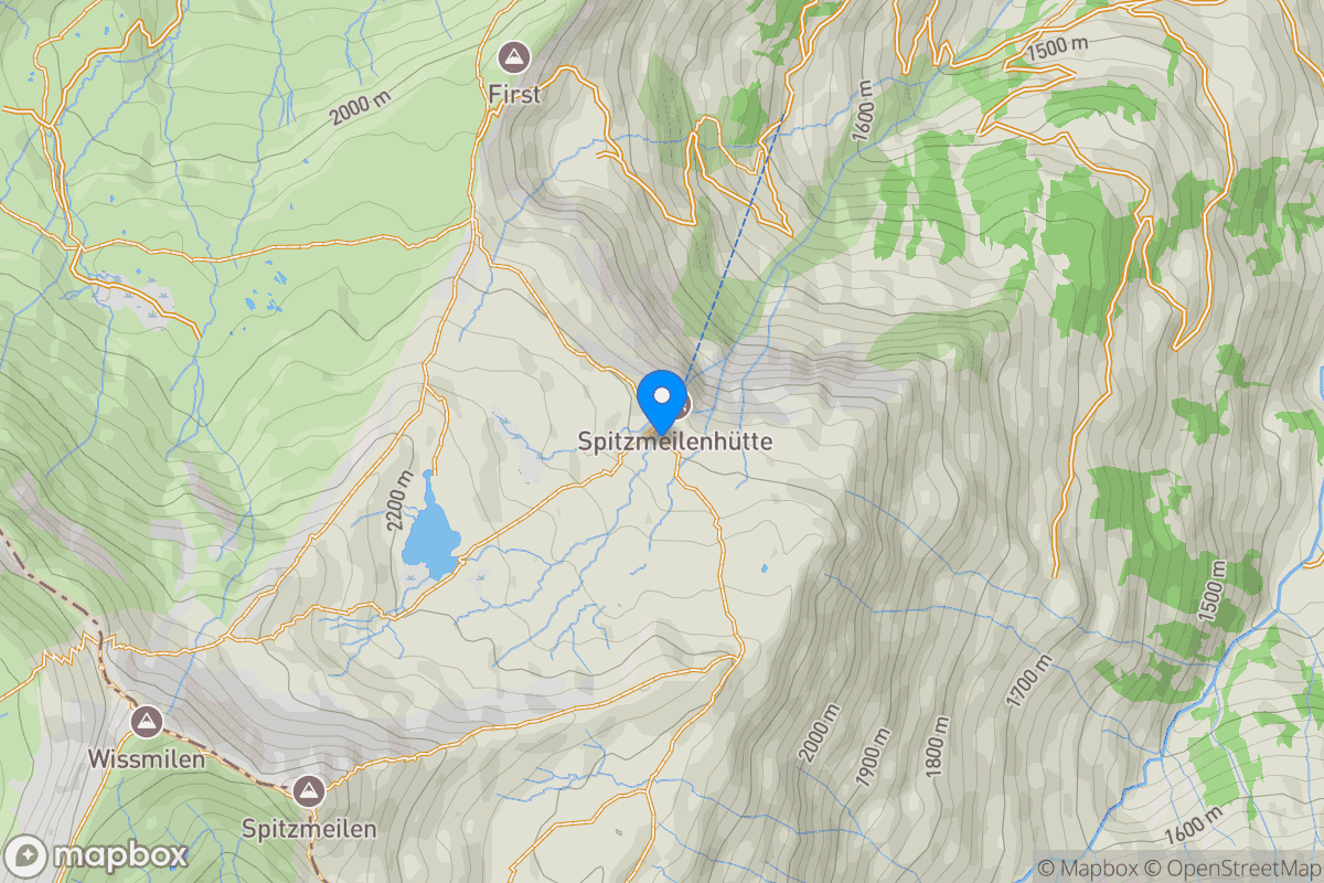
P2Spitzmeilenhütte
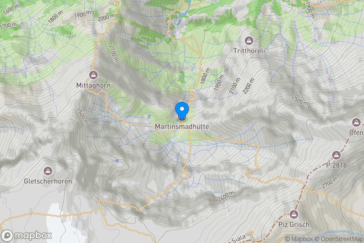
P3Martinsmadhütte
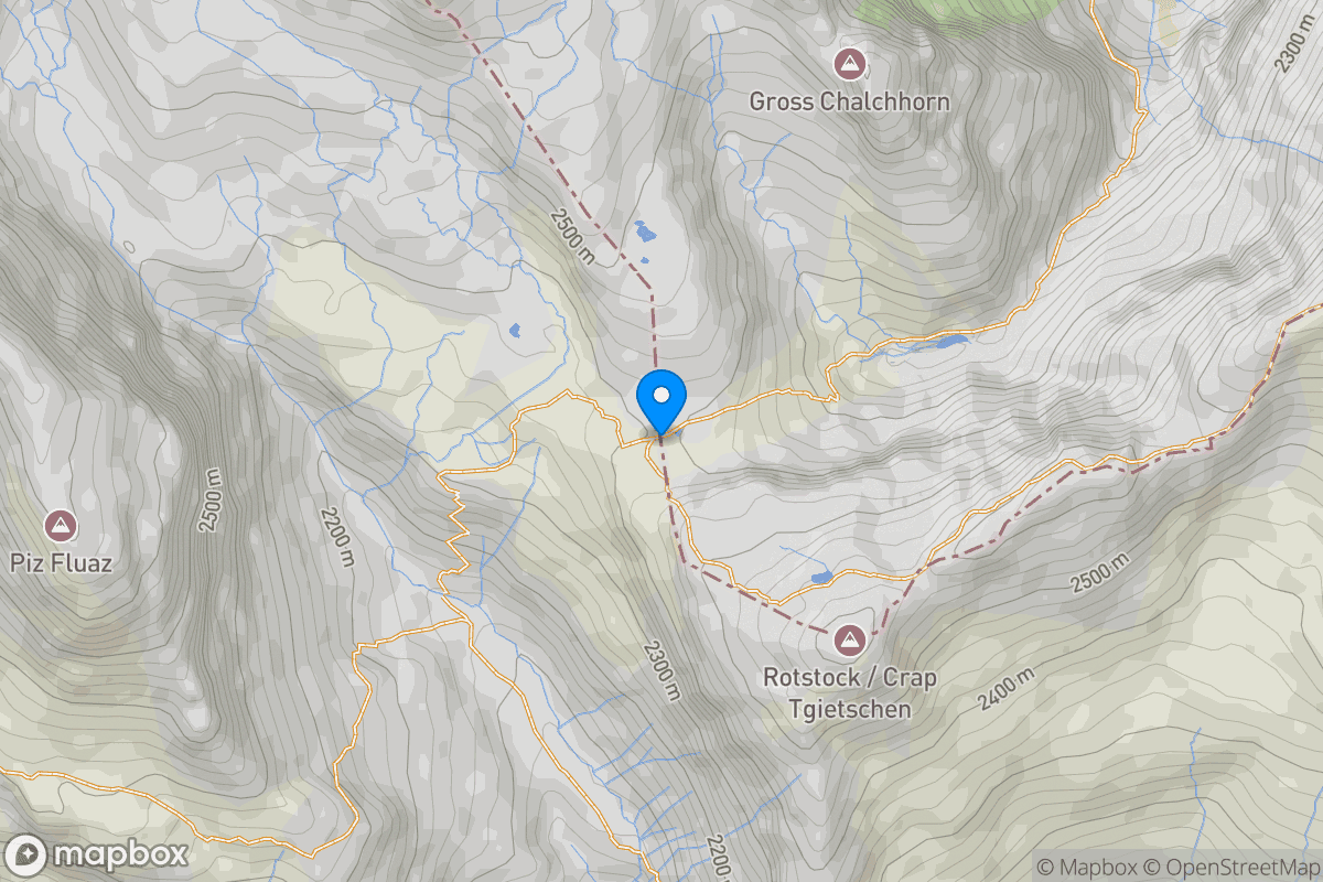
P4Panixerpasshütte
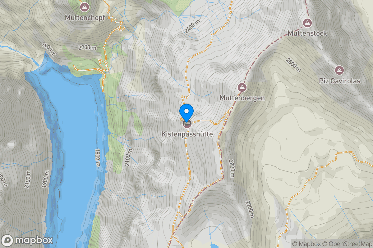
P5Kistenpasshütte
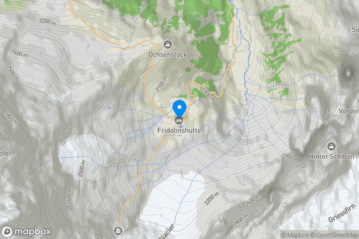
P6Fridolinhsütte
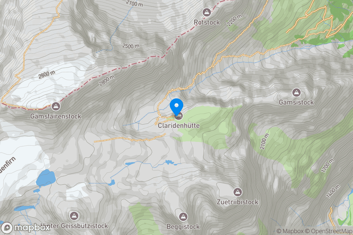
P7Glaridenhütte
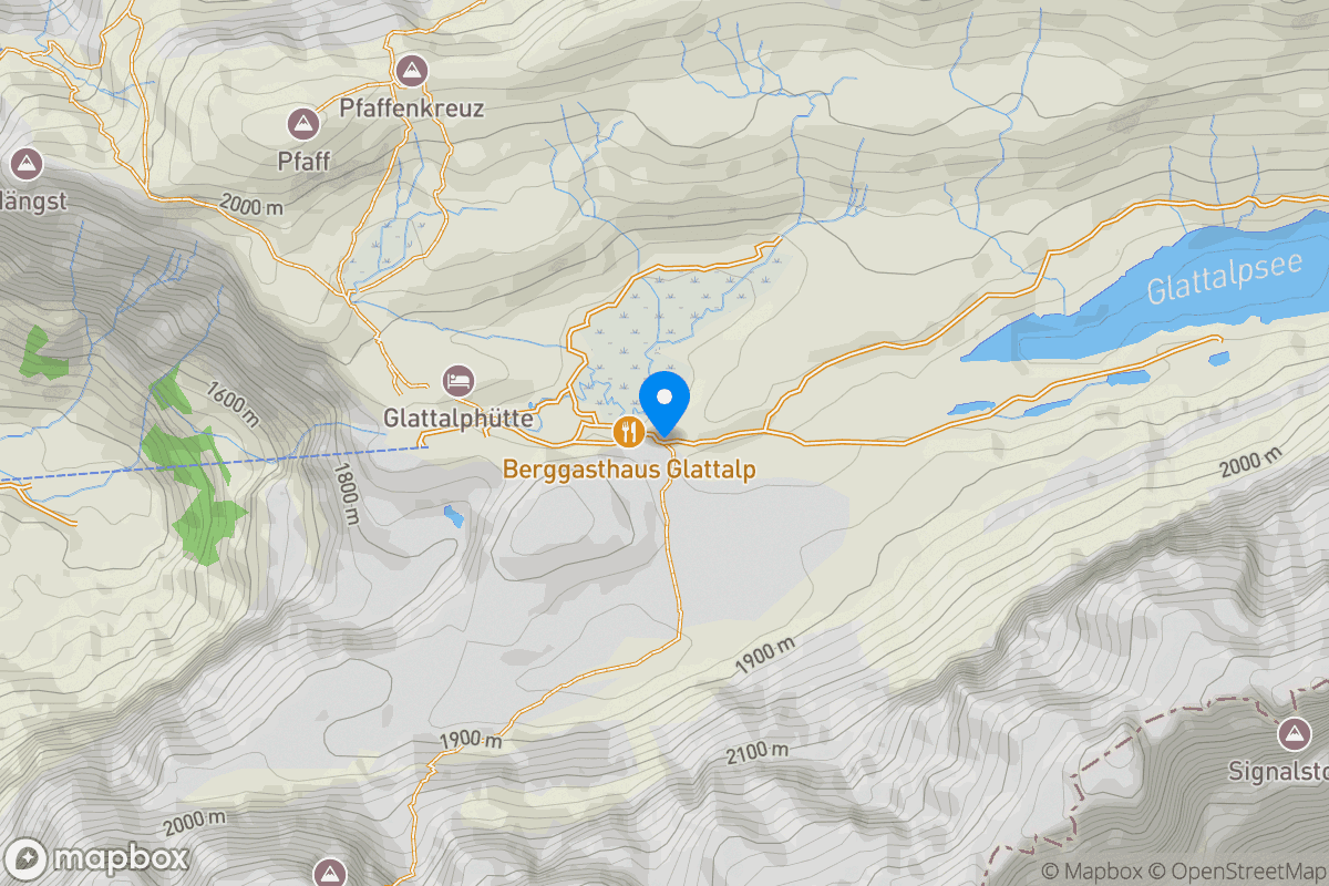
P8Gasthaus Glattalp
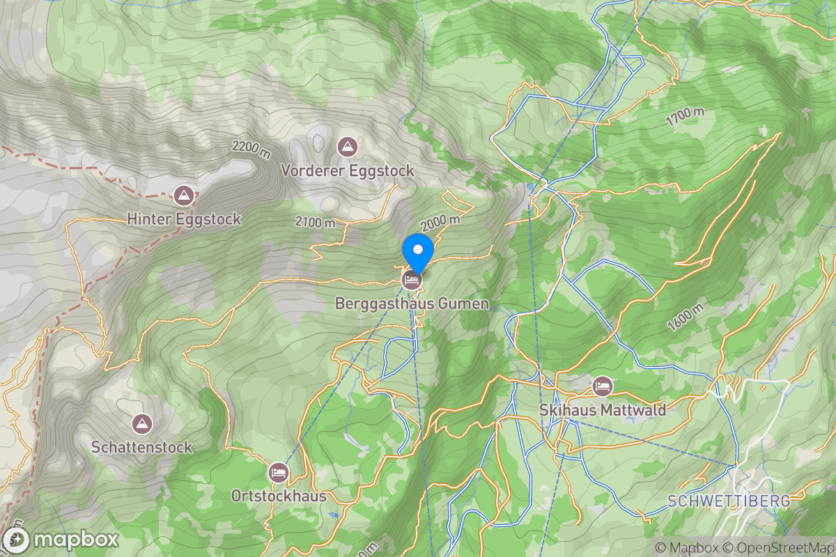
P9Gasthaus Gumen
Time Limits
Runners must leave each checkpoint by the posted cut-off time.
Runners must leave the checkpoint before the posted cut-off time in this table. They can't re-enter the checkpoint area to get further aid from their crew. A race official will be present at each checkpoint to control and enforce the cut-off times. They have the final say. No discussion, no bragaining.
Time Estimates
Estimated arrival times at checkpoints and proofpoints.
The times shown in this chart are non-binding estimates based on the distance, elevation gain, and terrain between waypoints. Treat this as a rough guide — actual times will vary depending on pace, weather, temperature, visibility, time of day among other factors.
Walkthrough
A journey across four distinct theaters.
This ridge sits in the Spitzmeilen-Gruppe, which is part of the broader Spitzmeilen-Mürtschen-Kette Google Sites — a named chain within the eastern Glarus Alps. In SOIUSA terminology this falls under section 13.II-C: Chaîne Spitzmeilen-Mürtschen Homoalpinus. The SAC Alpinführer Glarner Alpen (Walensee bis Tödi) covers this range within its northeastern chapter, but does not give the ridge between Glarus and Elm a single unified sub-group name beyond the Spitzmeilen area. Proposed name: Spitzmeilen-Kette (established, used in SOIUSA and IVOEA).
Terrain
Diverse, technical, exposed mountain terrain.
The course moves through an unusual range of alpine environments, and the variety is part of what makes it distinct. You will cross forest paths, open meadows, scree fields, and glaciers, sometimes within a single section. Trail markings follow the Swiss system from yellow marked hiking trails (T1) through red-white marked mountain trails (T2–T3) to blue-white marked alpine trails (T4–T5). Some passages leave the marked network entirely, requiring route-finding on open or technical ground. Runners should be comfortable on all of this regardless of time of day, mental and physical state, or weather condition.
Weather
Sustained alpine weather exposure.
The Alps are not a stable weather environment, and conditions can change within a single hour. August brings warm days at lower elevations, but temperatures drop fast with altitude and after dark. Afternoon thunderstorms are common, and ridgeline and glacier sections offer no shelter when they arrive. Wind, rain, and reduced visibility compound navigation that already demands your full attention. Runners must carry gear rated for wet and cold conditions and be prepared to make sound calls when the weather shifts.